Climate · Glacier Monitoring · Ala-Archa & Issyk-Kul
The Adygene glacier in Ala-Archa has been losing 16 metres of area per year for four decades. Today, scientists still measure it by climbing ten kilometres on foot. We are putting a real-time data path into both Adygene and Kara-Batkak so the climb is no longer the rate-limiting step.
2025-09-03 · Aziz Soltobaev · KG Labs Foundation
Sixteen metres.
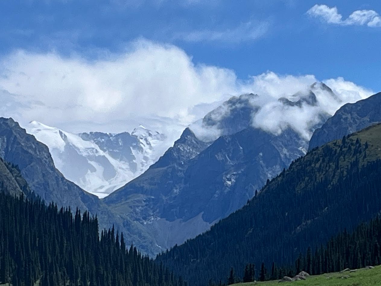
That is how much the Adygene glacier — in the right branch of the Ala-Archa gorge, at three thousand six hundred metres above sea level — was losing in area, on average, every year between 1977 and 2015. The figure comes from a research group of scientists from Kyrgyzstan and Germany working with satellite imagery and climate models. If the trend continues at that rate without us measuring the loss in ice thickness or volume, the permanent Adygene glacier will be gone within roughly seventy-five years, by the end of this century. From the city of Bishkek, the snow line above the gorge will not be visible in summer. The hydrological, agricultural, and water-security consequences extend well past whether the mountain looks different from the city.
I want to write this one from the field, because the field is where the methodological problem is. We have two recent installations to talk about, on two different glaciers, that say the same thing.
How Adygene is actually measured today
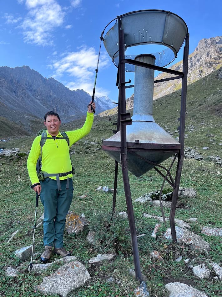
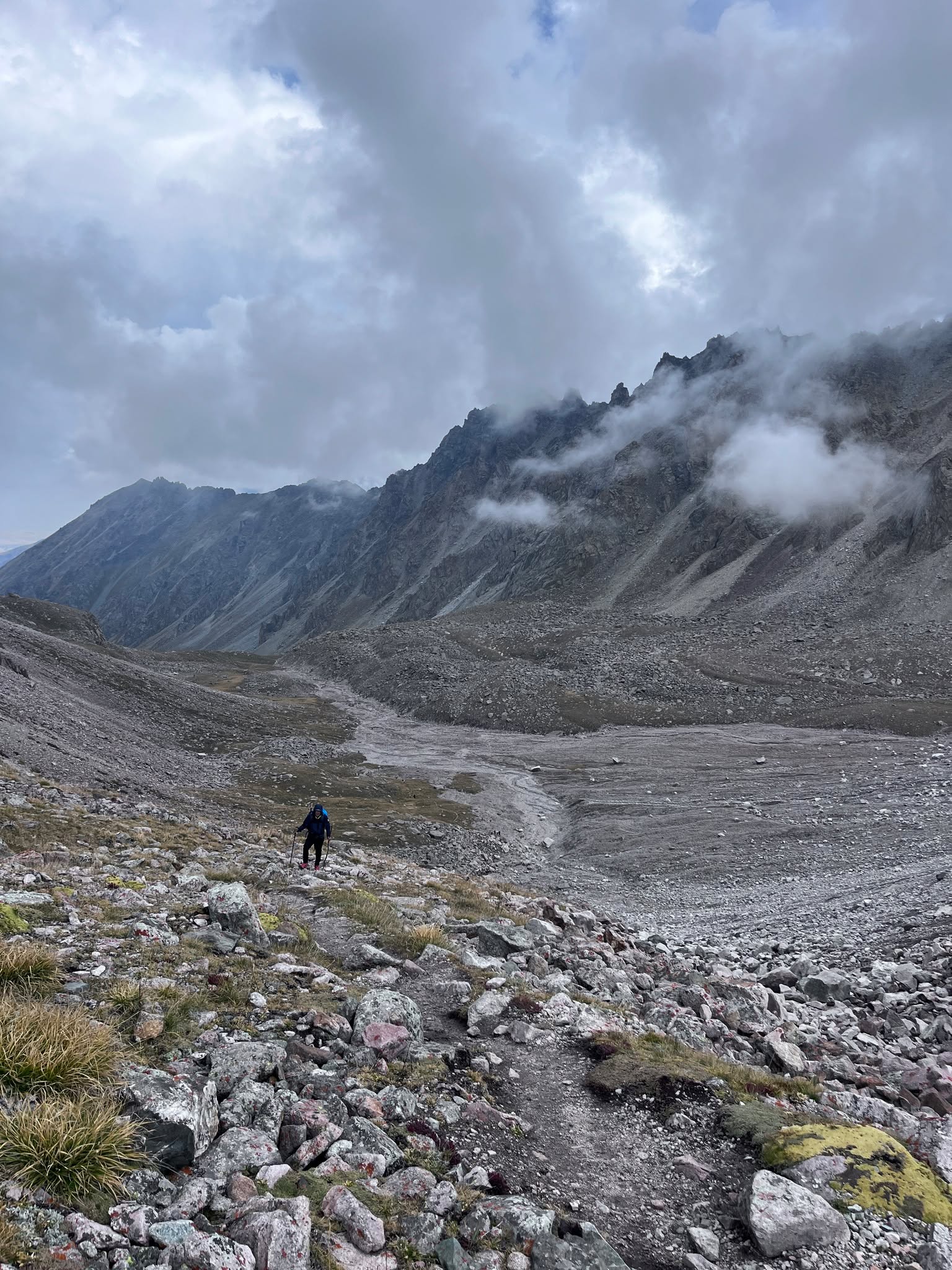
A climate model is only as good as the underlying observation grid. On Adygene, the underlying observation grid is a small group of scientists who walk a ten-kilometre route, one way, with one and a half thousand metres of vertical climb, once or twice a week, in order to read the gauges, copy data from the meteorological stations onto a USB stick, and bring the stick back down to an institute for analysis.
In cold months the ascent becomes seriously difficult and happens not more than once a month. The equipment at altitude — batteries, sensors — does not perform the way it does at lower elevation. On some days, the solar input is not enough to keep the climate sensors running. Geostationary satellite communications would solve part of the problem, but the budgets of the responsible scientific institutes do not support that path, and in practice it is not functioning today.
This is the part programmers tend to underestimate when they pull a «historical observation» out of a database. Each retrospective number in the time series was produced by a specific human climbing a specific mountain on a specific day in a specific weather window. The provenance of the data is physical. The accuracy of any climate model, and the boldness of any artificial-intelligence parameterisation built on top of it, are bounded by the quality of that climbing record.
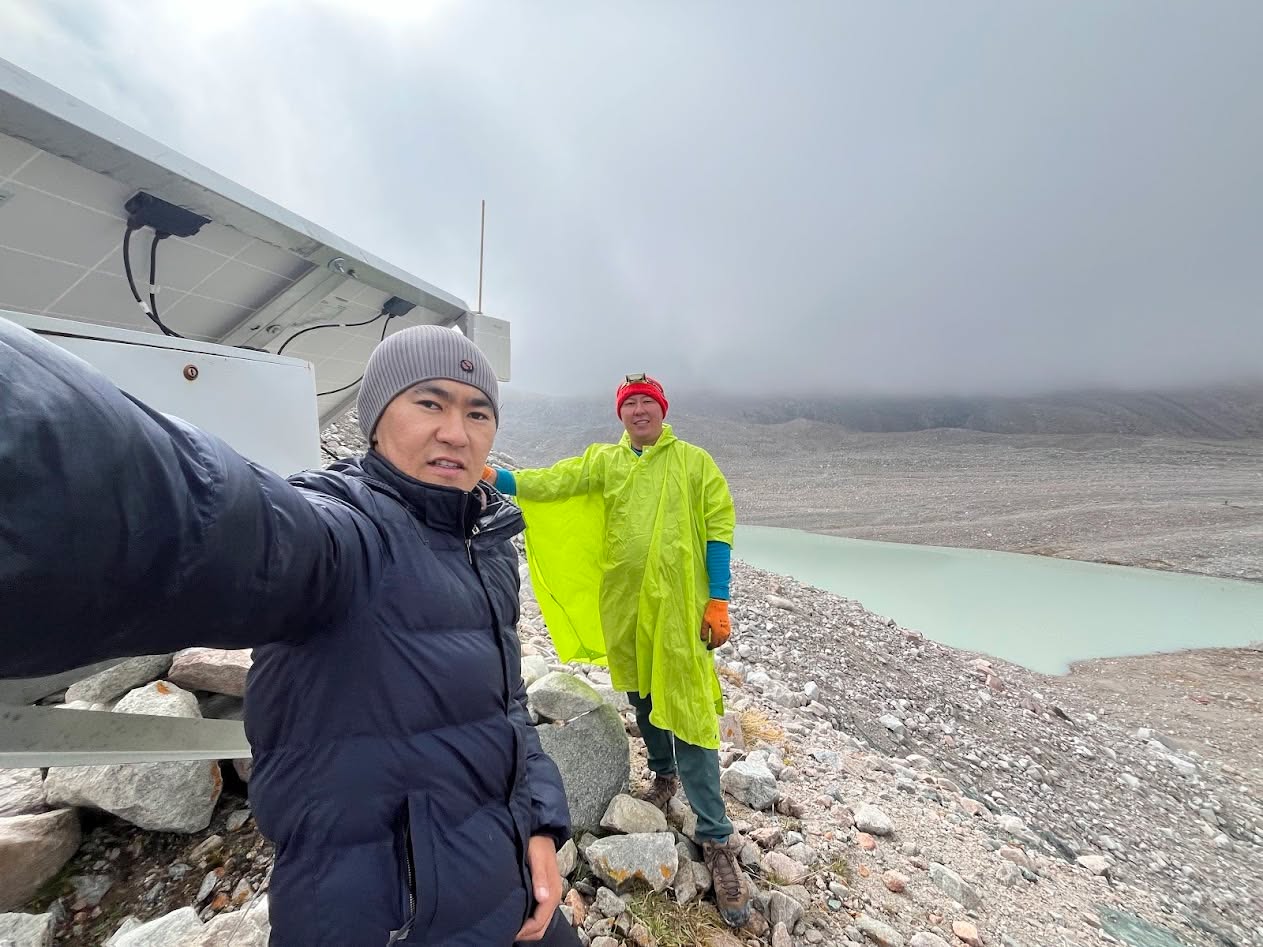
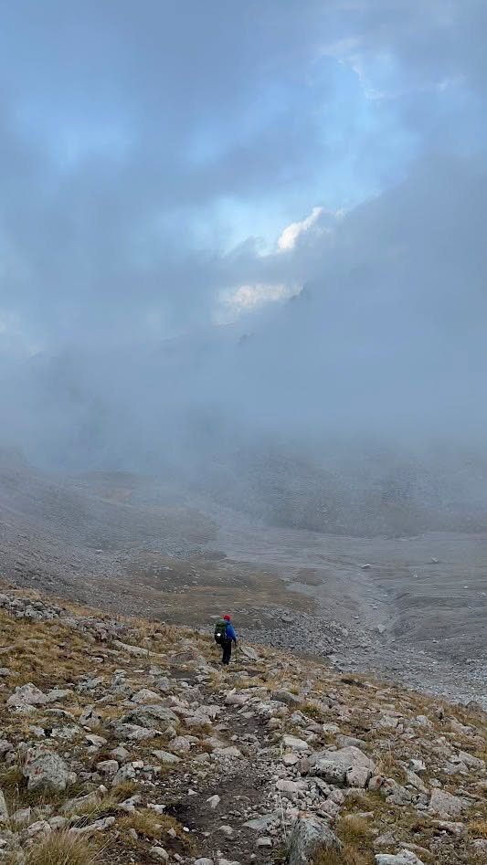
The Adygene installation
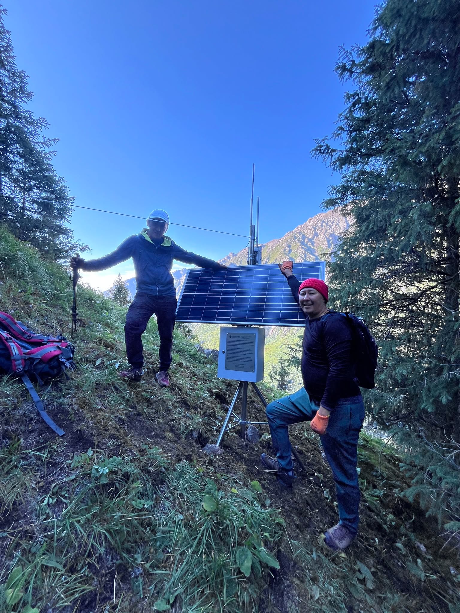
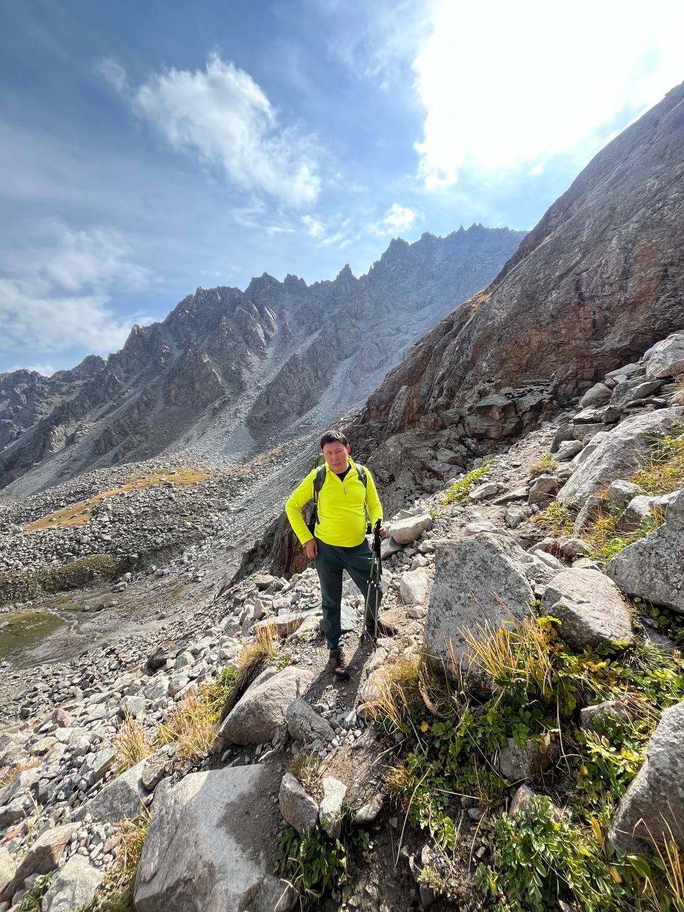
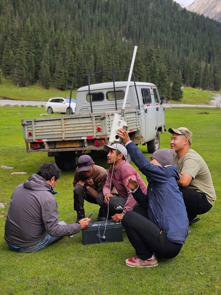
For Adygene, our work is to put the modern equivalent of an always-on observer at altitude. We have installed accessible, low-cost climate and meteorological sensors paired with a communications path that allows the data to come down off the glacier in real time, in winter and in summer. The institute and the programmers working with the data get hourly and sub-hourly readings instead of weekly or monthly ones. The probability of any predictive model — climate or AI-based — improves when the underlying observation cadence improves.
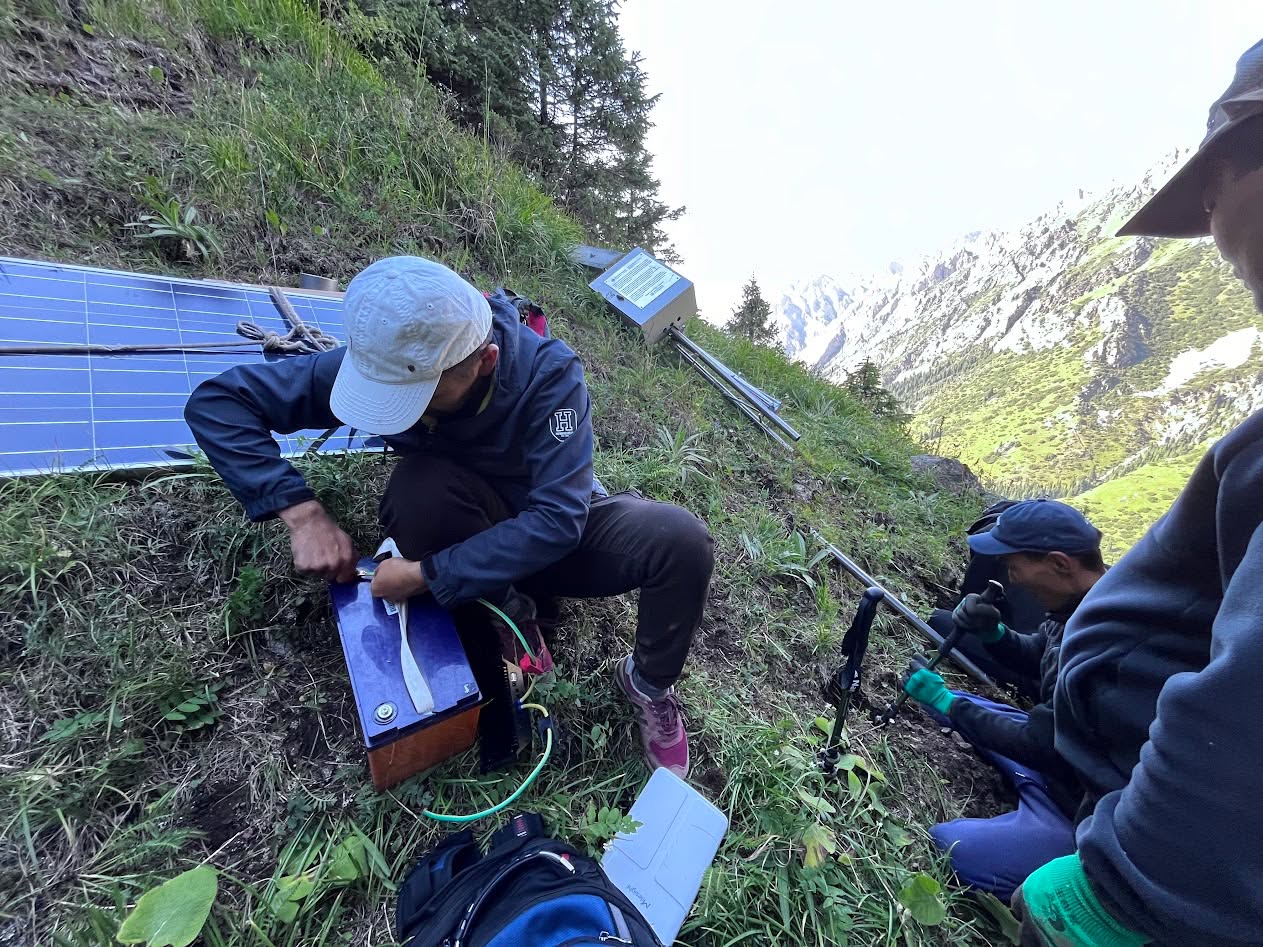
The principle is straightforward. The friction was in how to mount it on a 45-degree slope, how to keep it powered when the days are short, and how to communicate from a position where there is no cellular signal at all. LoRaWAN handles the last leg from the sensor to the gateway; the gateway sits at a position with cellular backhaul; the cellular backhaul costs roughly seven hundred som a year per site. Each new installation extends the network’s reach incrementally.
The Kara-Batkak ascent
The companion installation, on the Kara-Batkak glacier in Issyk-Kul oblast, is the one that I want to remember most precisely. Kara-Batkak is the longest-monitored, best-documented glacier in the Kyrgyz Republic — and the one Kyrgyz contribution to the World Glacier Monitoring Service’s roster. The Tian Shan House of Meteorologists, built to monitor the Kara-Batkak glacier and its glacier lake, sits in line of sight of the glaciers Aylama West and Kara-Batkak and the Kara-Batkak lake itself. That is where we wanted our communications gateway.
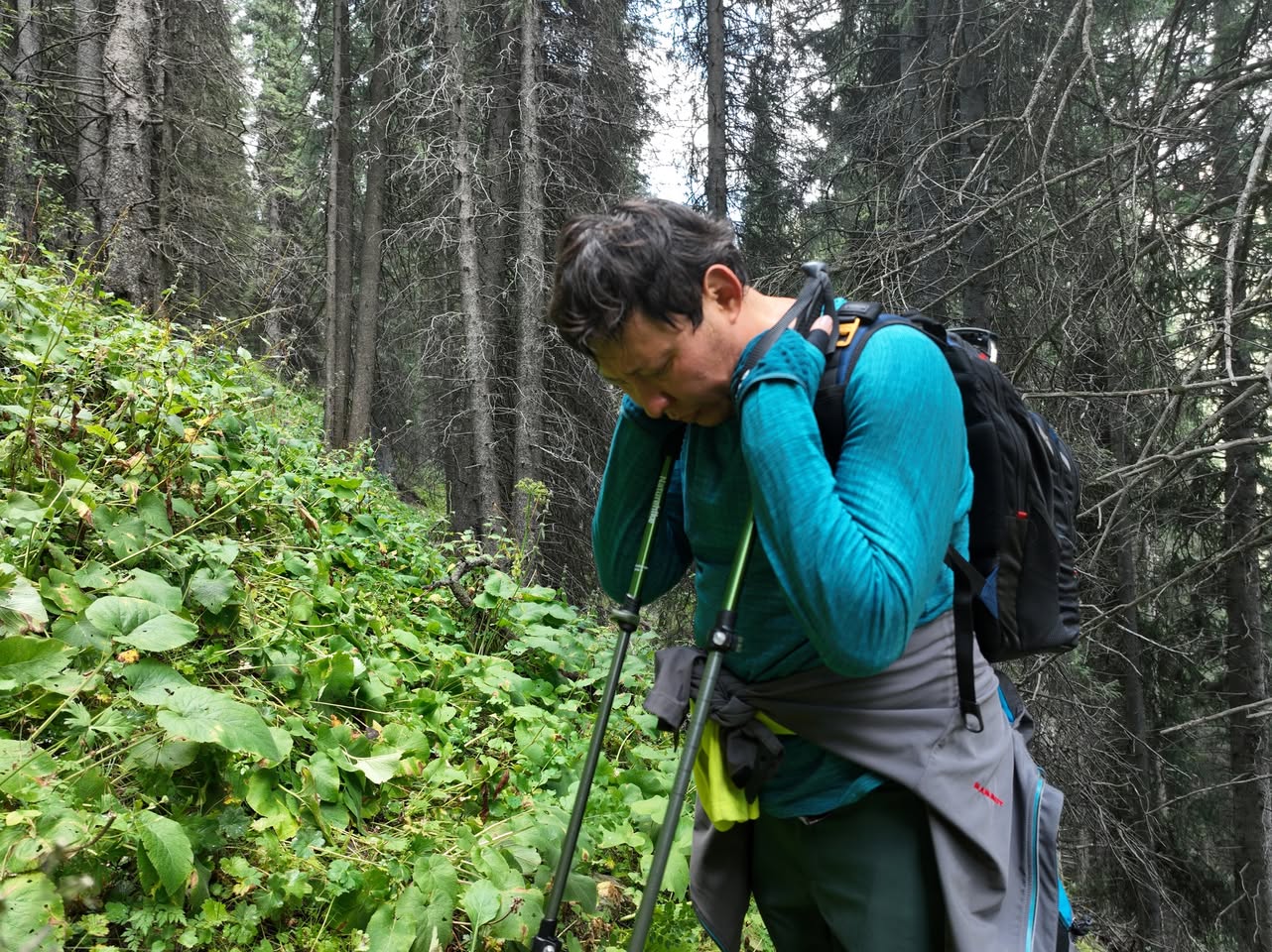
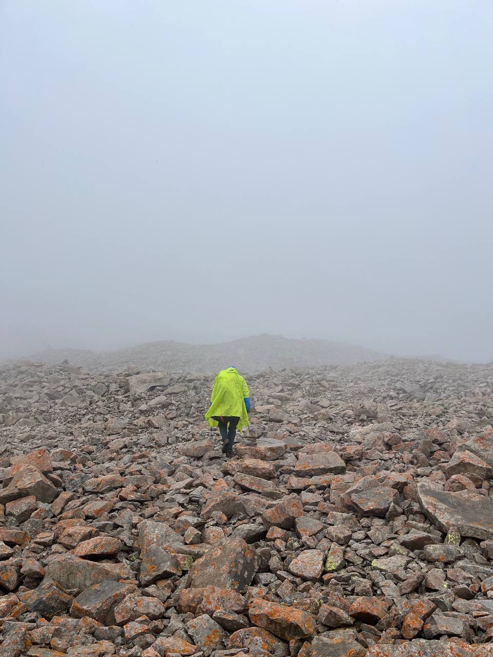
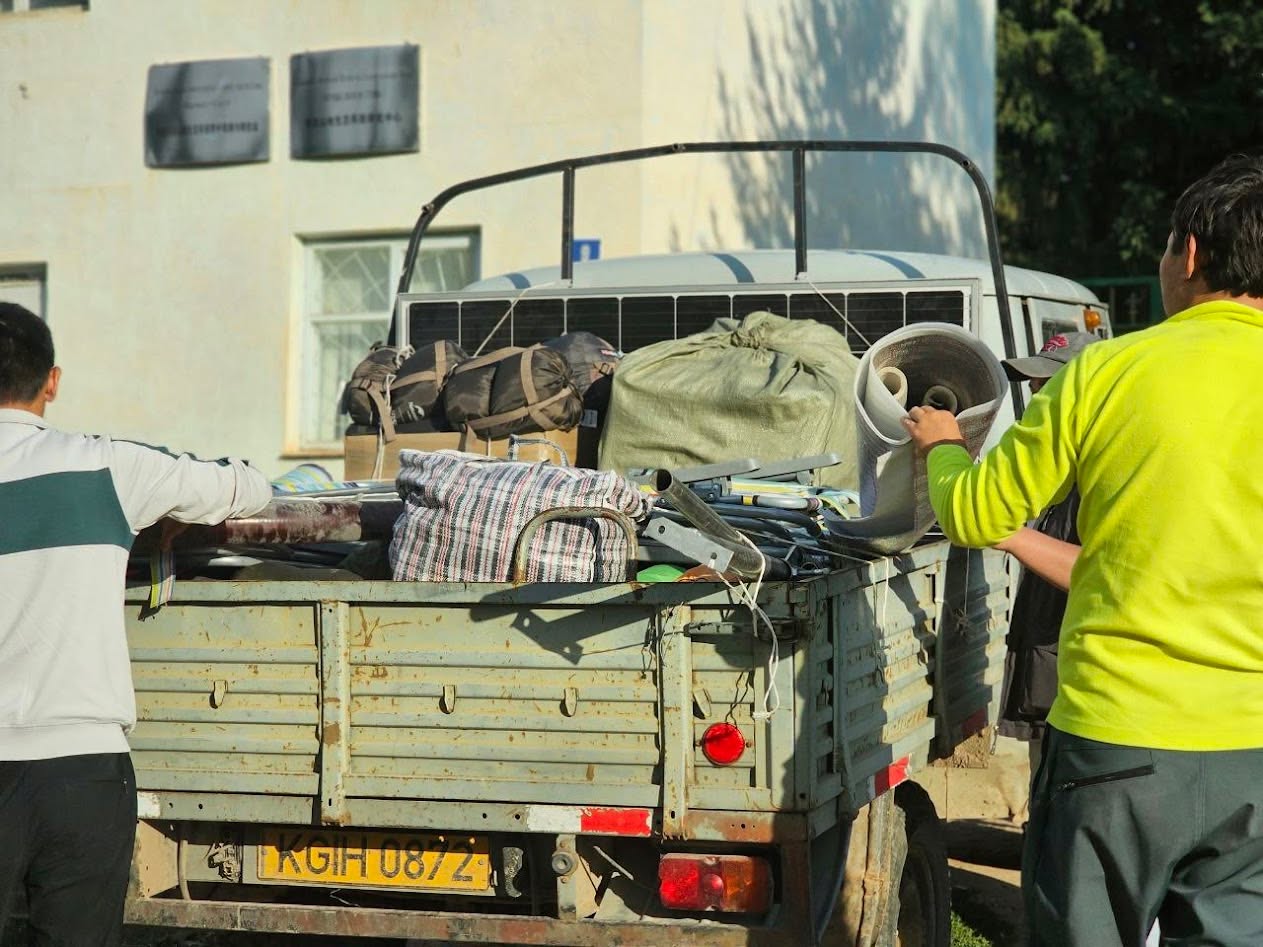
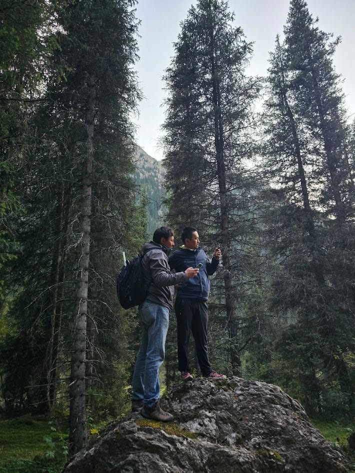
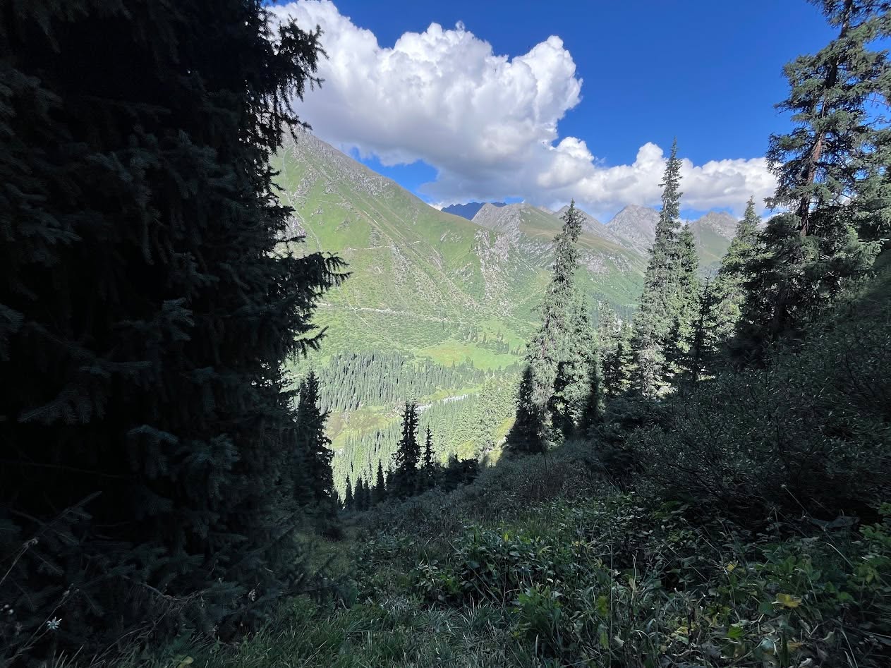
The distance to the install point was five hundred metres. Five hundred metres of vertical, on a 45-degree slope (or steeper), through coniferous forest, slippery alpine meadows, and a series of unexpected drops; you have to search for new paths because the ones on the map either do not exist or are not safe. Five hundred metres on foot, with light gear, would be straightforward. With a twenty-five-kilogram battery, a full-size solar panel, and a long metal mast, the same five hundred metres of vertical became seven kilometres of climb.
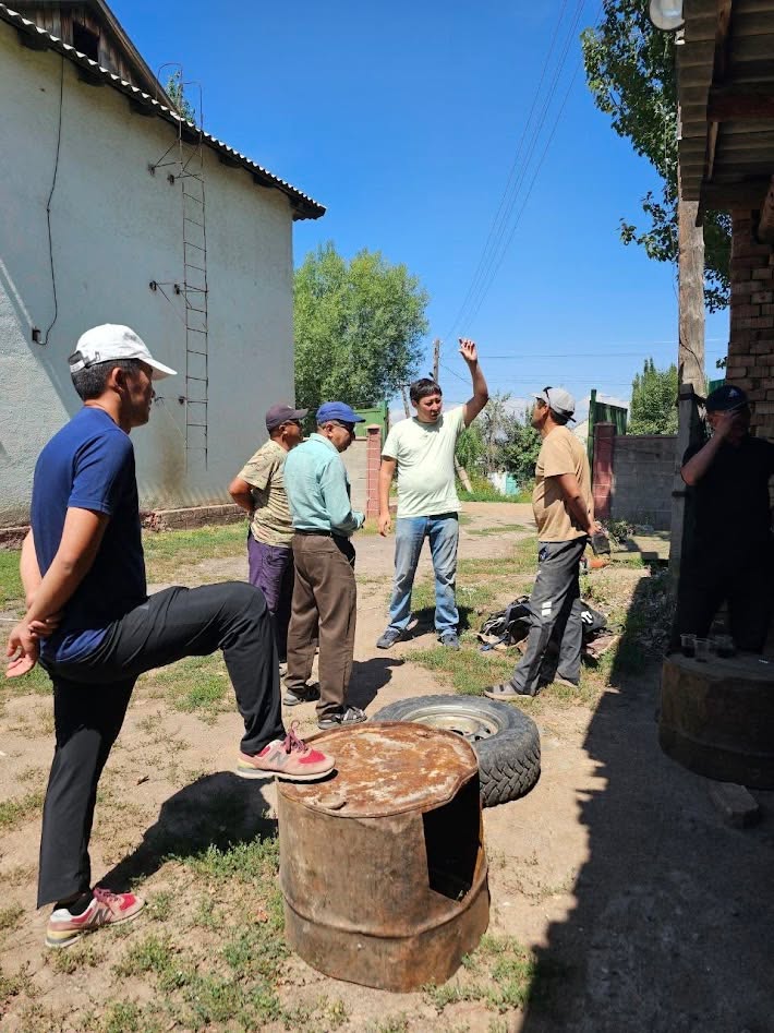
We made it as a team. The communications infrastructure now in place above Chon-Kyzyl-Suu will keep working for decades, with annual maintenance, and will support not just glacier observation but also flora, fauna, and cryosphere monitoring across that biosphere zone. That is the part I think about: not the climb on the day, but the fact that the climb only happens once and the data comes down every five minutes for the next twenty years.
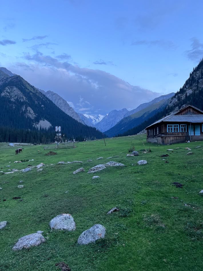
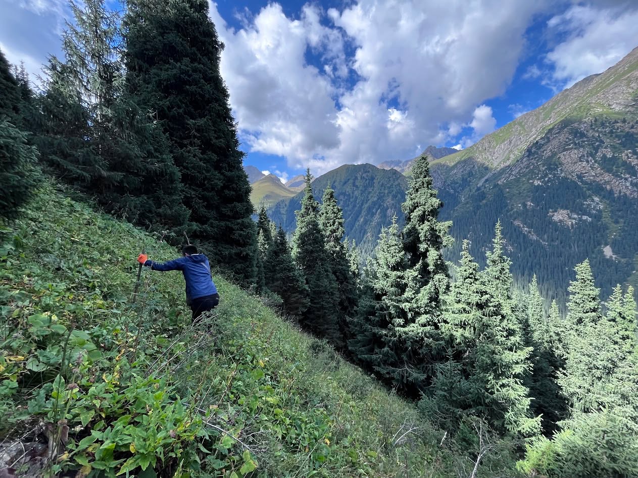
Why this matters for AI models on climate
Many climate-geophysical models — and even more so the AI models layered on top of them — rest on assumptions about how the historical data was produced. The simpler assumptions are parameterisations and CDF mapping; the bolder ones are end-to-end neural surrogates of physical processes. Both run against the wall of provenance. If a historical observation was a once-a-month manual reading from a Soviet-era gauge, the model that uses it inherits that observation’s noise floor.
Our work — putting real-time, high-cadence, low-cost observations into the data path next to the historical record — is the foundation on which more useful AI models for the cryosphere can be built. The Adygene installation and the Kara-Batkak installation are two early instances of what that foundation looks like in practice. There are fifteen more high-altitude sites in Kyrgyzstan, above three thousand metres, that we want to reach.
Short video of an install near Kara-Batkak: https://www.instagram.com/reel/DOFwn0PjGe1/.
Project site: https://isoc.kg/iot-climatechange-monitoring-research/.
Counting the climbs
The frame I keep coming back to is this. Adygene has been losing sixteen metres a year for forty years. The number is in the satellite record. It has been in the climate models. It is not new information. What is new is that, from this season forward, the people working on what the next forty years of Adygene will look like no longer have to choose between climbing the mountain themselves and accepting a coarser measurement. The data comes down every five minutes whether the climbing weather is good or not.
That is the part of glacier monitoring that low-cost sensors and LoRaWAN actually change.