

Field Notes · RIPE 89 · Prague
At RIPE 89 in Prague I presented the seven things our LoRaWAN climate-sensor network has actually learned: when to use it, where the cheaper instruments match the expensive ones at 97% confidence, and which sensor types do not survive Kyrgyz mountain conditions.
2024-11-02 · Aziz Soltobaev · KG Labs Foundation
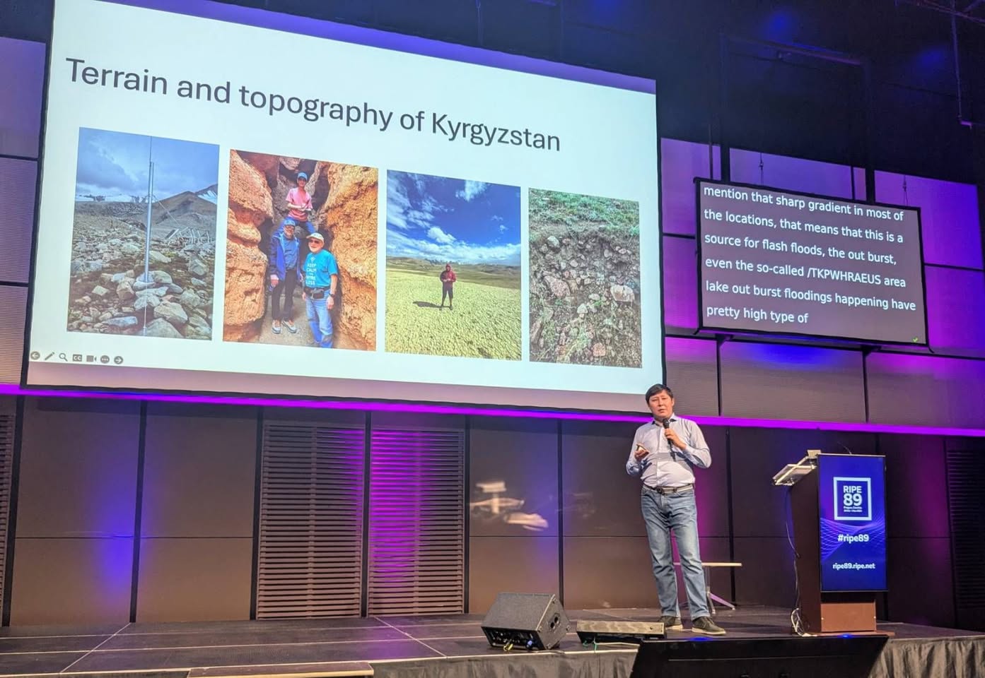
This week I was in Prague at the RIPE 89 forum, where I presented the field results and the practical conclusions from the Internet Society Kyrgyz Chapter research project on internet-of-things devices with LoRaWAN support, used for monitoring natural disasters in high-altitude countries like Kyrgyzstan.
RIPE meetings are uniquely useful gatherings of the people doing the actual technical work on the global internet. When that group is in the same room together, the volume of high-grade insight is impossible to absorb in the moment; the digestion takes weeks, until the next RIPE.
I want to put the seven main findings of our research project on the record here in plain language. These are not predictions. They are what the deployments have shown, after two years of running stations across geographically distinct zones in Kyrgyzstan.
What the field has taught us
1. LoRaWAN works where cellular does not
The technology gives a useful path for monitoring sites where cellular coverage is absent or weak. In a country that is ninety per cent mountainous, the number of points worth observing that fall outside the cellular grid is large; LoRaWAN closes most of that gap at a reasonable cost.
2. Second-tier weather stations match the references at 97% confidence
Meteorological stations costing under €3,000 produced results matching those from Vaisala and other premium brands costing above €30,000 — with a confidence level of 97%. The remaining 3% of error is associated with the use of satellite communications by the higher-cost instruments, which introduces a small error related to cosmic radiation. This means that, for almost every operational use case, the cheaper instrument is functionally equivalent.
3. Mountain terrain is hard but offers long-range wireless options
Mountain regions are difficult for both wired and wireless connectivity. They also offer opportunities for long-distance wireless links by exploiting high points and the diffraction patterns at sharp ridgelines. The radio planning is its own craft. The line of sight from the topographic map is not the line of sight on the ground; that has to be confirmed on foot.
4. Resistive soil-moisture sensors do not work in our soils
Sensors for soil moisture and temperature that use the resistive method of measurement are not suitable for loamy or rocky mountain soils. The reading drifts; calibration does not hold. For installation in Kyrgyz mountain conditions, capacitive or dielectric sensors are the path.
5. Ice-covered, rocky, loamy soils need specialised sensor types
Once you are on a glaciated or near-glaciated surface, the standard agricultural sensor product line stops applying. The surface conditions — frozen, rocky, loamy — require sensors designed for those conditions. There is a manufacturing gap here that more deployments could help close, by giving sensor manufacturers a regional spec to design against.
6. Ultrasonic river-level sensors are wrong for our rivers
Ultrasonic sensors for measuring the level of river water are not suitable for fast-flowing, gradient-heavy mountain rivers. The water surface is too turbulent and too prone to froth; the ultrasonic ping does not return a clean reading. Pressure-based water-level sensors in stilling wells are the workable alternative for the kinds of rivers that come down out of Ala-Archa or out of Chong-Kemin.
7. Sensor data volumes require ML to be useful
The volume of data generated by a multi-site, multi-sensor network is large enough that human analysis cannot keep up. Machine-learning and artificial-intelligence algorithms are required for analysis, identification, and ongoing monitoring of natural-disaster signatures inside the stream. This is the part that KG Labs Public Foundation is increasingly focused on, alongside the deployment work on the Internet Society side.
The materials
For anyone who wants the original presentation and the meeting record:
- My RIPE 89 deck (English): https://ripe89.ripe.net/presentations/92-1-From-Mountains-to-Data-RIPE89-Meeting.pdf
- RIPE 89 daily meeting blog: https://labs.ripe.net/author/ripe-ncc-commsies/ripe-89-daily-meeting-blog/
- Recording of the talk: https://ripe89.ripe.net/archives/video/1476/
Why I think the framing matters
The reason I gave a RIPE talk and not a climate-science talk is that the climate-science community has, in most respects, accepted the case for low-cost distributed sensing. Where the bottleneck has been is on the communications and network-engineering side: how to actually get the data off the mountain, into a domestically hosted data store, and out to the people who need it, in real time, at a cost a national emergency-services budget can absorb.
The findings above are the part of that bottleneck we have moved. The audience that was best positioned to take them and apply them in other under-served high-altitude regions — Nepal, the Andes, the Caucasus, the Balkans — was sitting in that room in Prague.
#ripe89 #IoT #internetofthings #ripecommunity #isockg